
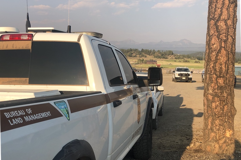
Photo: Smoky skies looking east from the County Fairgrounds, late afternoon, August 4, 2026.
Acres: 1,388 | Containment: 55% | Cause: Lightning | Personnel: 401
Current Situation: The Archuleta County Sheriff lifted all mandatory evacuations and pre-evacuations, effective at 1 p.m. today. Residents are urged to be alert and watch for firefighters and fire traffic as suppression efforts continue. Fire crews saw very little fire activity yesterday and had no issues holding control lines. While the containment estimate did not increase, the team has made steady progress securing and reinforcing containment lines. The high temperatures and dry conditions allow fuels to consume completely within the fire perimeter, which aids in the mop-up effort.
— from the San Juan National Forest Rio Blanco Fire report, sent out at 8:51am this morning.
100 or so of us were listening to the presentations at the CSU Extension Building at the County Fairgrounds on August 4, and thus far, we’d heard from County Sheriff Mike Le Roux, Commissioner Warren Brown, and Pagosa Ranger District Head Ranger Josh Peck.
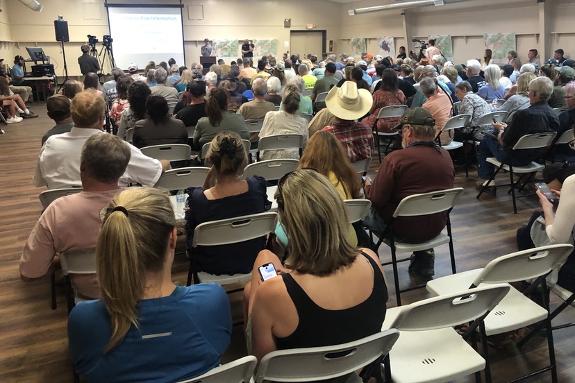
Next up was the meteorologist working with the Rio Blanco Fire team, whose name I didn’t catch.
Apparently, these types of wildfire suppression teams typically include a meteorologist to warn the team about impending weather events, to help keep the crew safe and to help with suppression planning.
The chart projected on the large screen listed the predicted weather elements — temperatures, wind speeds and direction, precipitation, humidity, etc. — over the coming week, with the “helpful weather elements” shown in green boxes, and threatening elements in yellow and red.
Almost the entire chart was in red, with some yellow.
“Anything you see in red, could contribute to extreme fire behavior. And man, there’s a lot of red [in this chart]… We’re looking at temperatures in the mid-90s. And the humidity values: “10…”10″… “14”… up to “18′ on Monday — still awful dry. And we see the chances of rain — “5%”… “5%”… “5%”…
“So for the next seven days. I’m pretty sure it’s going to be ‘more of the same’…”
The wind speeds shown of the chart did not appear, to me, terribly threatening, however. It’s my understanding that catastrophic wildfires are nearly always driven by high winds.
Next up was Brian Austin, the planning operations section chief. He seemed upbeat about the team’s progress so far, and about the chances of keep the fire from entering the Lower Blanco neighborhood.
“As Josh [Peck] said, we have just over 350 people. The fire is just under 1,300 acres. In the past two days, we’ve dropped over15,000 gallons of retardant, and 200,000 gallon of water from the helicopter buckets…
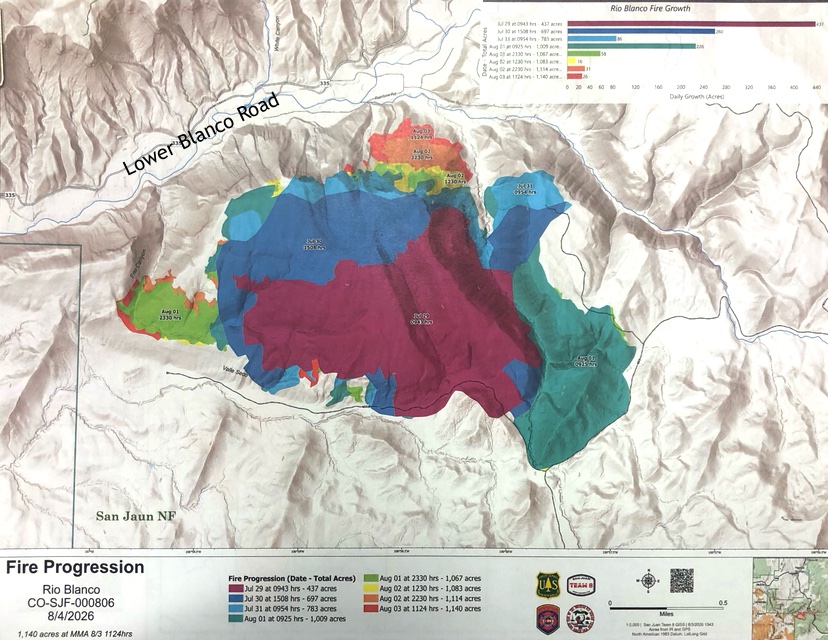
“This is a progression map…”
Up on the screen was a map showing the area of the fire in several contrasting colors, indicating the daily growth of the fire from 75 acres to the current 1,300 acres over a week’s time.
It was apparent that the growth was somewhat erratic, moving first east and then west, but generally northwards towards the Lower Blanco neighborhood.
This same type of map had been shared with the Archuleta Board of County Commissioners earlier the same morning…
Mr. Austin continued explaining the tactics the team had been applying to different areas surround the fire.
“Dozer lines”
“Defensive firing”
“Hand line put in by the Navajo Hot Shots and Blue Ridge Hot Shots”
“Three days ago, we knew the winds were going have the ability to pick this fire up and give it a lot of momentum, running towards these homes.
“We intentionally put fire in this area, away from Aspen Road, to create what we call ‘black’ — so we had already burned out the vegetation. And that fire, ahead of those winds, gave it time to cool down, and let that fire slowly progress on its own yesterday and last night, so we get a buffer to catch it. And we’re not just having something come down and run this whole direction with a lot of momentum, right towards where our homes are.
“So that was intentionally done. And that strategy is paying off…”
He then share some photos from the various stages of the fire’s growth.
“We’re trying to do our best to minimize damage and impacts to homes and private property…”
He noted that it’s been relatively slow to get firefighting resources, due to the number of other fires burning in the western U.S.
“We’re used to getting mapping three of four times a day. But with the lack of resources, we’re just getting one map a day…
“We were able to ‘walk’ the fire around this top edge slowly, over the past two days, to get ready for the winds we had yesterday and today. We’re trying to keep the fire south of the river, all the way to Frio Canyon, where the fire will come out on both sides of the canyon…
“We’re working with hand line, aircraft, everything in that area, to make sure it does not go west of Frio Canyon…
“We’re not out of the woods yet, but compared to where we were 24 hours ago, 48 hours ago, just being able to finish this piece right here [around Frio Canyon] is very comforting for me, in operations and fire behavior.”
Cory Wilson, the incident commander, then spoke, expressing thanks for all the support that’s come from the Pagosa Springs community during this stressful time.
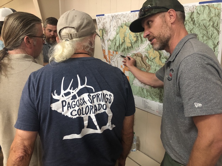
The audience was then invited to review the various maps that were pinned to the walls of the exhibition hall. Members of the firefighting team were positioned at each map to answer questions. It was apparent from the questions being asked, that many of the people in attendance were evacuees from the Lower Blanco neighborhood.
From the report posted to Inciweb.gov yesterday morning:
Today’s Operations
Crews will work to clean up the containment lines around the fire perimeter, felling snags, mopping up, and back-hauling equipment. Resources from Division R will be incorporated into an initial attack group that will respond to any new starts within the Pagosa Ranger District. Other excess resources are being sent north to assist with the Elk Fire. Night shift crews will continue to patrol and mop up…
The Elk Fire is burning in neighboring Hinsdale County, about 7 miles northwest of Lake City. It’s estimated at about 3,500 acres — about three times the size of the Rio Blanco Fire — and is reportedly 40% contained.