Most of us hardly think about water, nowadays, I suspect. We turn on a tap, without thinking about the technical and engineering problems that had to be solved, to make it possible for water to arrive at our home or business or ranch, at any hour of the day or night, from a source located miles away. We flush our toilets with considering the vast number of legal agreements that had to be negotiated in courtrooms, over the past century or so, to allow the water to flow across miles of private and public property without anyone hindering that flow.
We pay our water bill, and we pay our property taxes, and assume that the water will arrive whenever we want it.
We’re especially likely to avoid thinking too deeply about water, I suspect, if we don’t like numbers. Fortunately, I enjoy numbers. I hope you do too, because I’m going to drop a lot of them into this editorial.
As an appointed volunteer member of the San Juan Water Conservancy District board, I’ve taken an oath to protect and, if possible, improve access to water resources for the people living within the District boundaries. The other six board members have taken a similar oath. (You can read more about SJWCD at our website.) The board members bring various types of expertise and experiences to the table.
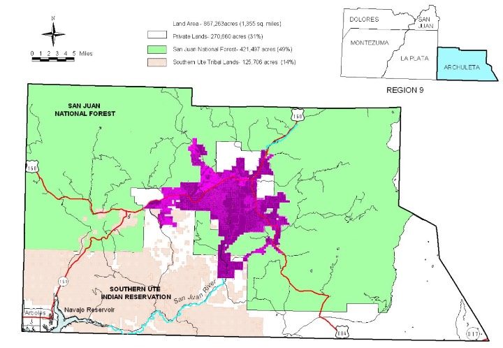
The San Juan Water Conservancy District includes most of the suburban and urban residential areas in, and surrounding, the Town of Pagosa Springs, plus some of the more rural areas nearby. Here’s a map of Archuleta County, showing the approximate extent of the District.

If I had to guess, I’d say the District covers about 10% of the county, and maybe 30% of the private land. (The green color is Federal land, and the brown color is Tribal land.) The District is roughly bisected, from north to south, by the San Juan River, flowing into the Navajo Reservoir in the bottom southwest corner of the map. A couple of smaller tributaries flow through the District, the most important of which might be Fourmile Creek.
Some people will disagree with me, but as far as I can tell, the San Juan Water Conservancy District has done very little, since its creation by local voters in 1987, to improve access to water resources within the District boundaries.
As far as I can tell, SJWCD has a less-than-sterling reputation among some of the major users of water in Archuleta County. As far and I can tell, the current SJWCD board is hoping to improve that reputation.
Disclosure: This essay does not necessarily reflect the opinions of the SJWCD board as a whole or of any other SJWCD board members.
One of the more challenging parts of serving as a SJWCD board member involves an effort to understand Colorado water law… and where certain legal, financial, and technical developments might be heading as we stumble through the first quarter of the 21st century.
Over the weekend, I explored the Division of Water Resources “Water Rights Transactions” database — a useful website, if you know what you’re looking for.
Which I didn’t. I knew only that I wanted to know more about water rights, and in particular, water rights related to Fourmile Creek, one of the larger creeks in Archuleta County, and one of the two main sources of drinking water for Pagosa Springs. If I had to guess, I’d say 70% of the homes and businesses in Archuleta County get at least some of their drinking water from Fourmile Creek, delivered via the Dutton Ditch diversion.
When I visited the Division’s database and searched for water rights on Fourmile Creek, I brought up a list of 89 court cases related to that particular water source. Opening up one of the court cases, at random — CA0073 — revealed various court decrees which are presumably related to water rights from Fourmile Creek.
1,216 pages of documentation. In one court case that stretches from 1896 until at least 2008… if not further.
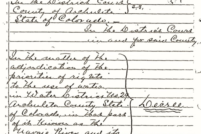
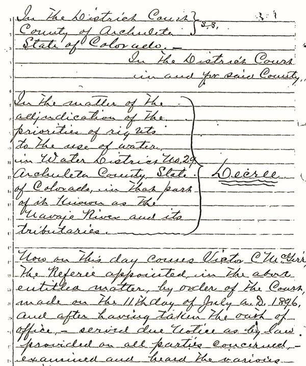
I did not read through the documents, but I noticed that the oldest document under Case Number CA0073 was a handwritten court decision dated 1896. The purpose of the decree seems to be to define the priority dates for various irrigation ditches; I could not determine which of those ditches were drawing water from Fourmile Creek.
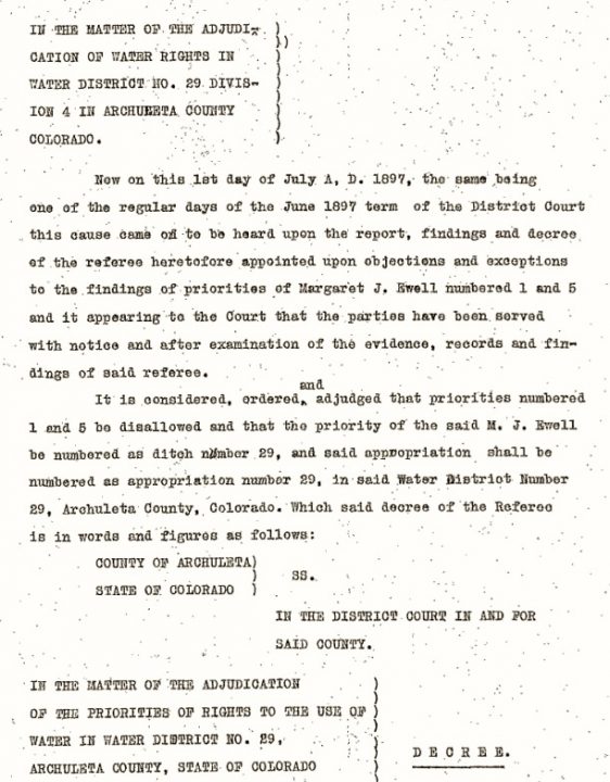
The next set of documents in case CA0073, dated the following year — 1897 — indicate that the court had purchased a typewriter.
Apparently, Margaret J. Ewell had her “priority numbers” changed from 1 and 5, to 29. I did not read through the 1897 decree to discover what testimony had led to Ms. Ewell’s misfortune.
These adjudicated water rights, in 1896 and 1897, appear to be agricultural, and the decree indicates that 19 operational ditches had water rights totaling about 48 cubic feet per second (CFS) of water, to be used to irrigate about 1,500 total acres owned by various ranchers and farmers. The first decree dates from just five years after the Town of Pagosa Springs was incorporated.
To put 48 CFS of water rights in perspective, Pagosa Area Water and Sanitation District (PAWSD) could theoretically provide water to every residential and commercial customer in Archuleta County, year round, with less than 3 CFS. 3 CFS is equal to about 2,200 acre-feet per year, and PAWSD sells less than 1,300 acre-feet annually to customers, and also provides around 300 acre-feet to the Pagosa Springs Golf Course.
But I’d like to consider, for a moment, the idea of a 3 CFS water right — theoretically, enough water to service all of PAWSD’s municipal customers. It’s not a simple consideration. As mentioned, much of the water treated and delivered by PAWSD flows into the Pagosa Lakes area through Dutton Ditch. Dutton Ditch was originally built to allow a diversion of about 13 CFS, but was enlarged in 1950 to accommodate about 23 CFS, in part to fill a new reservoir called Stevens Reservoir. The ditch was again enlarged in 1967 to accommodate about 63 CFS.
PAWSD must deliver water year round to its customers, although the deliveries are considerably reduced during the winter months. So PAWSD might need more than 3 CFS during the summer, and less than 3 CFS during the winter. PAWSD has never run out of water, even during the historic drought of 2002… in part because of a reservoir system created back in the 1970s, and partly because the San Juan River never runs completely dry, historically speaking.
But an agricultural operation runs on a different clock. A good-sized farm with, say, a 9 CFS water right might use zero water during the winter, but then require the full 9 CFS for several weeks during the spring-summer growing season. If you calculate the yearly total amount of water diverted by this same farm, the diversion might average out to be, say, 3 CFS. Instead of drawing three times as much water at the community of Pagosa Springs, this farm might instead use about the same amount.
But as I understand Colorado water law, this farm is allowed to divert 9 CFS whenever the owner wishes. (If I’m wrong about that, I hope someone will correct me.) If the farm wanted to irrigate in the middle of winter, Colorado water law gives them that right, I do believe. Instead of using the amount actually needed for its operations — say, 2,200 acre-feet — the farm might “claim” the right to the full 6,600 acre feet.
Here, I think, is where speculation might become a really sticky — and expensive — problem for Colorado.
And a very profitable investment for a group of New York speculators.


