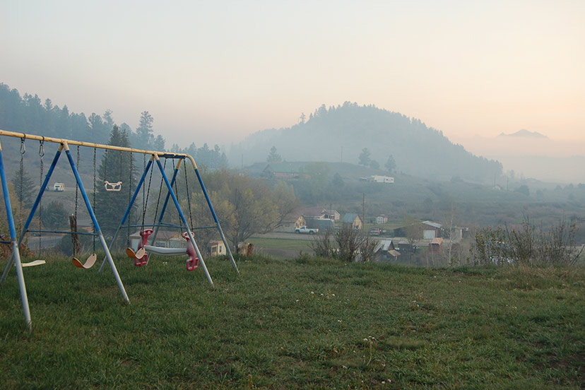
PHOTO ABOVE: Early morning smoke above Fourmile Road, May 18, 2022.
Read previous Plumtaw Fire stories, beginning on May 17, here.
Sitting on the porch after a pleasant lunch, I noticed the wind starting to pick up. Not something that would normally concern me.
But I was on the phone with a neighbor who had noticed a lack of smoke coming from the Plumtaw Fire, and wondered if the firefighting crews and aircraft had got the Plumtaw Fire under control.
I offered my opinion that this was probably not the case.
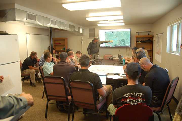
The conversation at the Pagosa Ranger District Headquarters, yesterday morning at 10am, was kicked off by Brad Pietruszka with the Colorado Division of Fire Prevention and Control. He began with a summary of the new wildfire burning seven miles north of downtown Pagosa Springs in Mineral County.
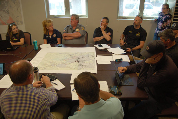
Also attending the meeting were Mineral County Sheriff Fred Hosselkus, Archuleta County Sheriff Rich Valdez, our three County commissioners, folks connected with local utilities (gas, water, electricity), various firefighting professionals, San Juan National Forest staff, and a few others. And the local media.

Brad Pietruszka:
“So, at 0600 this morning, we transitioned from the initial attack basis to the more extended attack. That’s what the switch is, really. It just brings us a few more folks. We’ve got some support functions that are on the line right now…
“A lot of you guys know, Plumtaw Fire started yesterday around 1500, right around here…” He pointed to a spot on the large video display. “Undetermined cause, suspected human. We’ve ordered a fire investigator on that.
“Fire rapidly grew throughout the day. The blue line here is the last Multi-Mission Aircraft scan of it; that was 466 acres. And the red line is my best guess of where the fire perimeter is as of right now. Roughly 660 acres. Somewhere in that ballpark, right now.
“The MMA is back up in the air. They’re going to fly some other fires first, and then come down here. So we’ll have some update acreage here for you shortly.
“All in all, yesterday was a pretty good day, all things considered. It became pretty apparent that this road system represents some of the best opportunity we have, as well as the combination of trying to tie these meadow systems together, back to the Plumtaw Road.
“Last night, the biggest change, you guys have already heard, is that the fire progressed a little bit. Got within about 150 feet of the road. And we brought it down the rest of the way, taking it back south along the Fourmile Road and tying it back to Plumtaw. What that bought us was just the opportunity to let this stuff burn down, and give us better visibility of spot fires…

“As far as the weather goes… the broad strokes are, today, winds are going to pick up from the southwest, switch to west, and then switch to northwest. So we’re not in a terrible spot right now. The big concern is Thursday. Pretty big fire-weather day. We have a long-term analyst working on some fire spread projections. Those aren’t complete yet, but if we’re going to get strong west winds, there’s a huge concern about fire spotting over the Fourmile Road and getting into Fourmile Creek proper.
“With that, our emphasis today is right along Fourmile Road, to try and mitigate any of that. There was a fuels treatment done there last year, which has actually been really helpful to us holding that fire last night, as we were bringing it along.
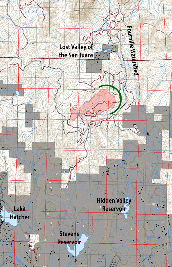
“That’s a huge focus for us, here.” He pointed to the map on big video screen. “The Fourmile watershed as well as Lost Valley. So a lot of our energy and focus is right here, this north and east end of things, today.”
I believe this green half-circle (drawn by the Daily Post) indicates the area of focus for yesterday.

“We only have about 150 people out here now. They’re going to keep on trickling in throughout the day. But we’re really focused on those areas that we’re going to have best probability of success in the shortest amount of time possible, just because of the wind event that’s coming, starting today but really picking up tomorrow.
“That’s our focus over the next couple of days… We’ve also ordered a complex incident management team; they were formerly the Rocky Mountain Blue Team; they should be en route. Planning a transition briefing for that team tomorrow evening… with a potential transfer to that team on Friday morning… We’re actually staffed really well, to be able to set them up… and start getting a lot more information out to the community.
“We have a ton of aircraft available to us, just right over at the Durango tanker base. Yesterday there was heavy aviation usage. Five air tankers, four or five Type One helicopters. A lot of work was going on yesterday. It worked in spots, and it spotted over in other spots.
“Things to keep in mind about this fire. It’s mid-May, and this is probably the biggest fire at 8,500 feet that’s happened before June anywhere on the entire San Juan National Forest. So that gives you an idea of our conditions… a lot of the long-term drought seems to be compounding in the Southwest, here…
“The fire remained active pretty much all night. It laid down a little bit, but it didn’t do what fires typically do at night, which is just kind of stop, park, smolder. It was pretty active all night. Just moving slowly down the hill. So there’s a lot of potential for this fire — one, to get across the Fourmile Road into the Fourmile drainage, and then, two, to kind of give a glancing blow, with our projected wind directions, to the Lost Valley area…”
A discussion among the participants then touched on LPEA power lines; the PAWSD Fourmile water pipeline; which water reservoirs the aircraft are pulling water from (hopefully, not Lake Hatcher); where the underground gas lines might be located (we don’t always know where); road closures; fire restrictions; and ultimately, down the road, perhaps a closure of the entire San Juan National Forest.

